Waimate Creek Walks
Name |
Waimate Creek walks |
Location |
Geraldine |
Co-ordinates |
1443796 5045064 |
Alternative co-ordinates |
1444426 5043717 |
Configuration |
Linear |
Distance |
1.5 km |
Status |
On-leash |
Grade |
Easy |
Access |
In Waimate, take Mill Road NW from centre, then turn left onto Garlands Road. Walk starts on far side of bridge over Waimate Creek. Alternatively, take Queen Street and remain on it, until it becomes Mount John Road, at the river crossing. |
Description |
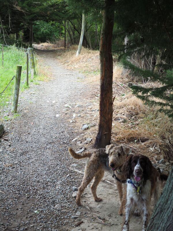
Two linked tracks along the Waimate Creek. Garlands Track follows the west bank from Garlands Road to Point Bush Road; Naylors Track then continues down the east bank to the end of Queen Street (where it becomes Mount John Road). Like many riverside walks on South Island, the surrounds are rather scruffy and ill-kempt - but things improve southwards as the landscape becomes more rural. |
Connecting tracks |
|
Further information |
|
To download details of this site as a pdf, click here
|
Click on the map to zoom in
|
|
|